Central American Pacific coast
El Salvador
A country where you climb the volcano in the morning and swim in the sea by afternoon.
This is El Salvador
A chain of volcanoes running down to the sea, in less time than a film takes to watch.
A country that's compact, not small. Volcanoes run through it all the way to a coast that's never far away.
On the map, El Salvador is a sliver between Guatemala, Honduras and the Pacific Ocean, smaller than the Netherlands and without the Caribbean coastline that makes the rest of the region famous. Arrive here and the first thing you notice is how close everything sits together: drive from San Salvador to the coast and the smoke from a volcano still hangs over the road while the salt of the ocean is already coming through the window.
That makes El Salvador not a country to tick off, but one to move through. A morning among coffee bushes at eleven hundred metres, an afternoon on black lava sand, an evening on a colonial square where the generator still kicks in when the power cuts out. It all fits into the same week, without ever spending more than two hours in the car.
In short
- Best time to go
- November to April is dry, with the clearest skies over the volcanoes; the coffee harvest runs from December to February. From May, a heavy shower usually falls in the afternoon.
- How long
- A week to ten days for the volcanoes, the Ruta de las Flores, Suchitoto and the coast. Distances are short but highland roads wind; to include Perquín, choose the longer option.
- Who it suits
- Travellers who want to combine volcanoes, coffee highlands and surfing on the Pacific coast without long transfers, and who want to hear how the country deals with its recent history.
- What sets it apart
- It is the smallest country on the Central American mainland and, unlike its neighbours, has no Caribbean coast. Since 2001 the US dollar has been its official currency, unlike in Guatemala and Honduras.
The regions
Five landscapes never more than a few hours apart.
El Salvador is too small for long transfers and too varied to sum up in one image. These are the areas that give the country its rhythm.
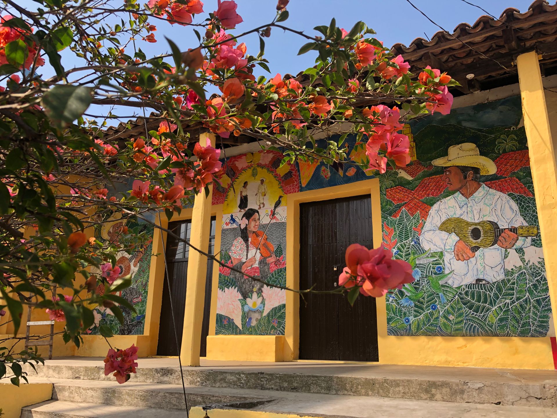
Western highlands
The Ruta de las Flores
Coffee plantations, pine trees and villages like Juayúa and Ataco, their facades painted by the people who live there. In the morning mist hangs between the bushes, by midday the sun breaks through and the air smells of roasted beans.
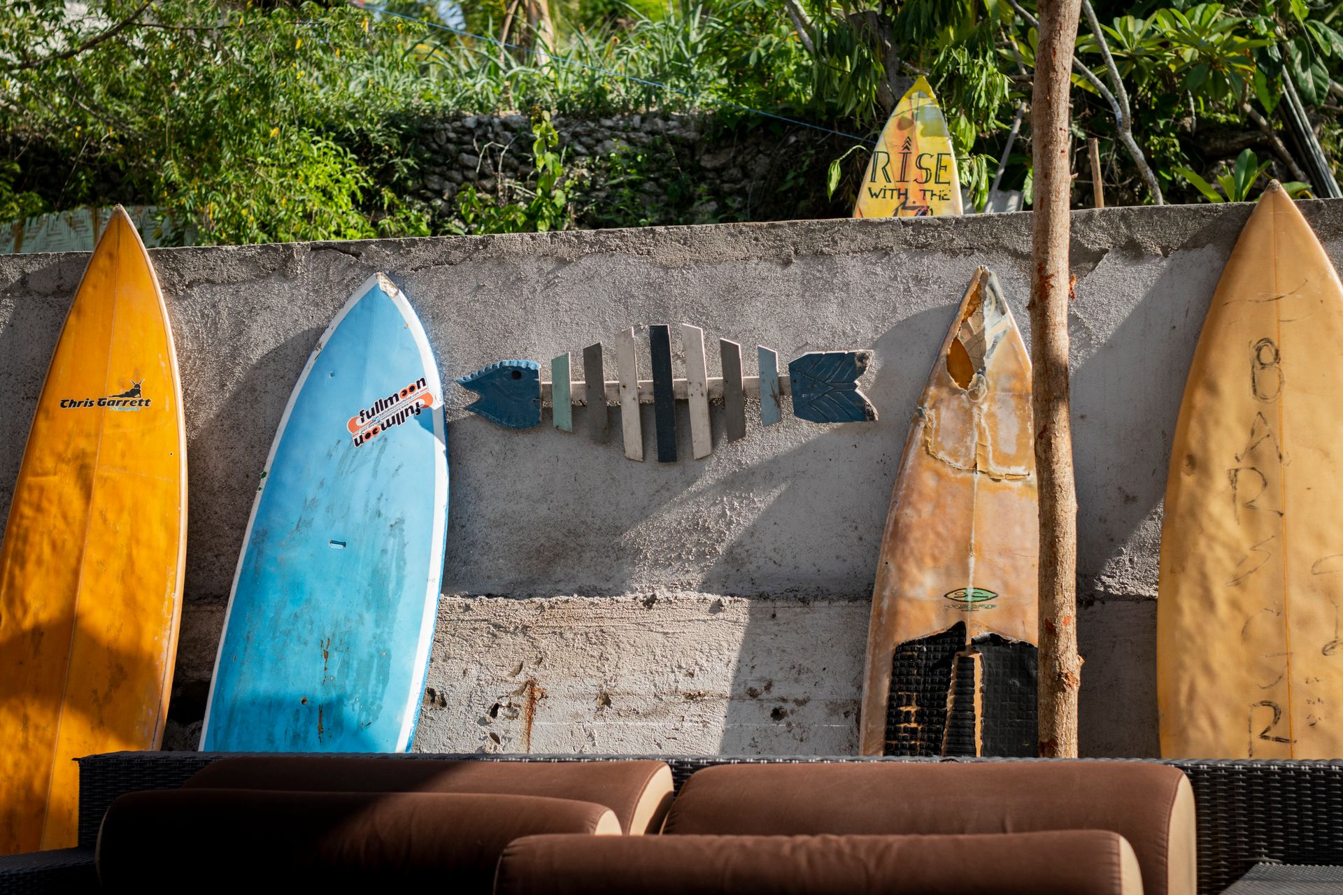
Pacific coast
La Libertad and the Costa del Bálsamo
Black lava beaches, breaks that have drawn surfers for decades, and fishing villages barely changed by it. El Tunco is well known, El Zonte quieter, and between them lie miles of coast with no name at all.
Cuscatlán
Suchitoto and Lake Suchitlán
A colonial town on a hill above an artificial lake, with indigo workshops, a Sunday market and a calm rebuilt deliberately after the civil war, not something that happened by chance.
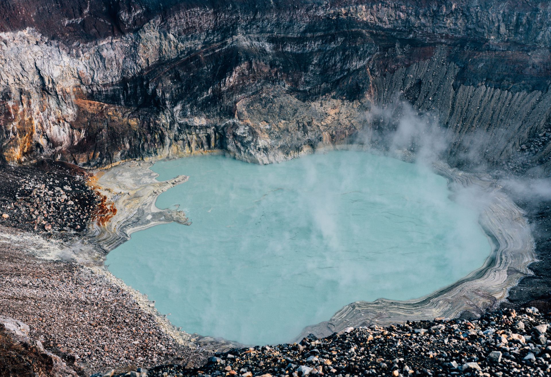
Cordillera Apaneca-Ilamatepec
The volcano route around Santa Ana
Three volcanoes, Santa Ana, Izalco and Cerro Verde, standing side by side, with a crater lake that turns sulphur yellow and, on a clear day, views reaching to the coast.
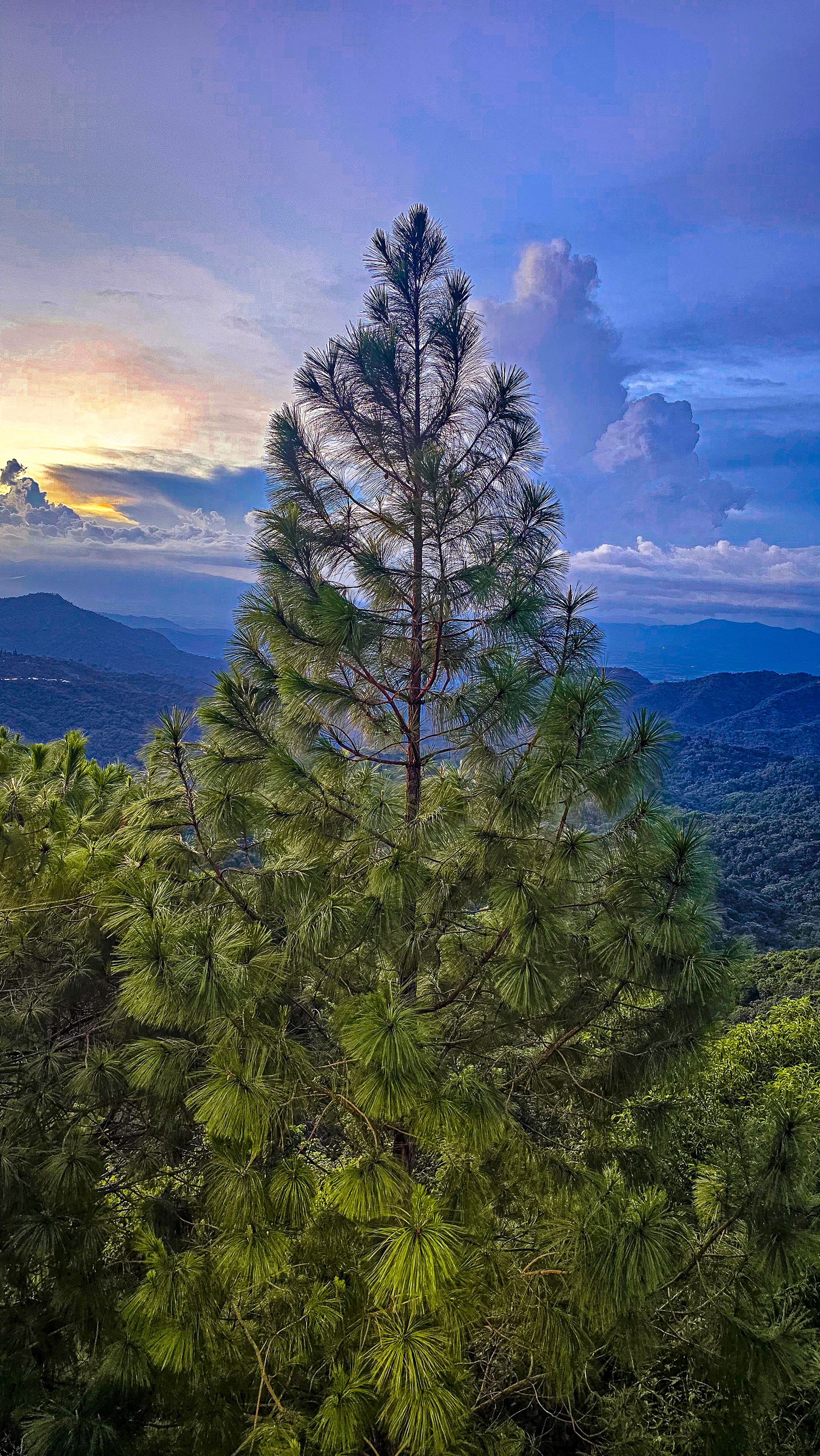
Morazán, the east
The mountains of Perquín
Cooler, quieter and less visited: pine forests, villages where the civil war still surfaces in conversation, and footpaths that rarely meet another foreign visitor.
Coffee as backbone
The highlands live off the harvest, not the view over it.
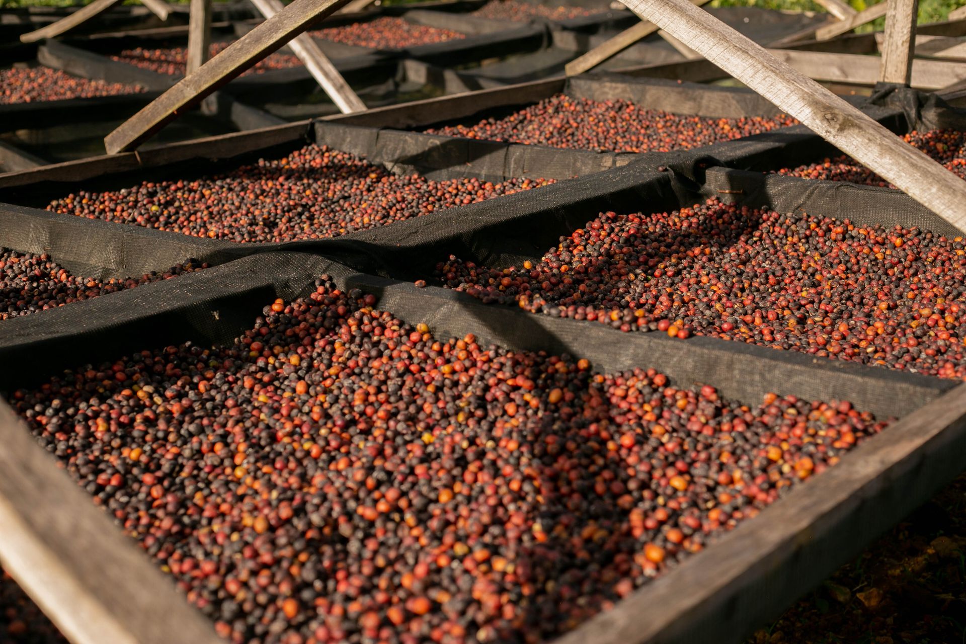
Coffee once brought El Salvador wealth, and later, when prices collapsed, an economic blow some villages never fully recovered from. What remains is a generation of farmers who know exactly when a cherry is red enough to pick, and fincas that still run on shade and altitude rather than machines.
Visit a finca in season, December to February, and it's not a tasting with commentary but walking the rows, picking what's ripe and watching it get washed and dried that same day on the patio next door.
Volcanoes and coast
Three landscapes that grow into one another
Volcanoes, ocean and the last pockets of dry tropical forest are rarely far apart in El Salvador, often visible from the very same spot.
Santa Ana and Izalco
An active crater with a sulphur-yellow lake, and beside it Izalco, once known as the 'lighthouse of the Pacific' because ships steered by it for decades.
Parque Nacional El Imposible
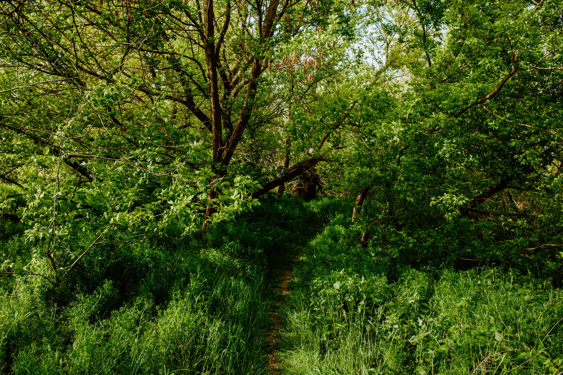
The country's largest protected forest, named after a pass so dangerous that mules often couldn't get through it. Now one of the few places where the rare great black hawk still nests.
The turtle beaches
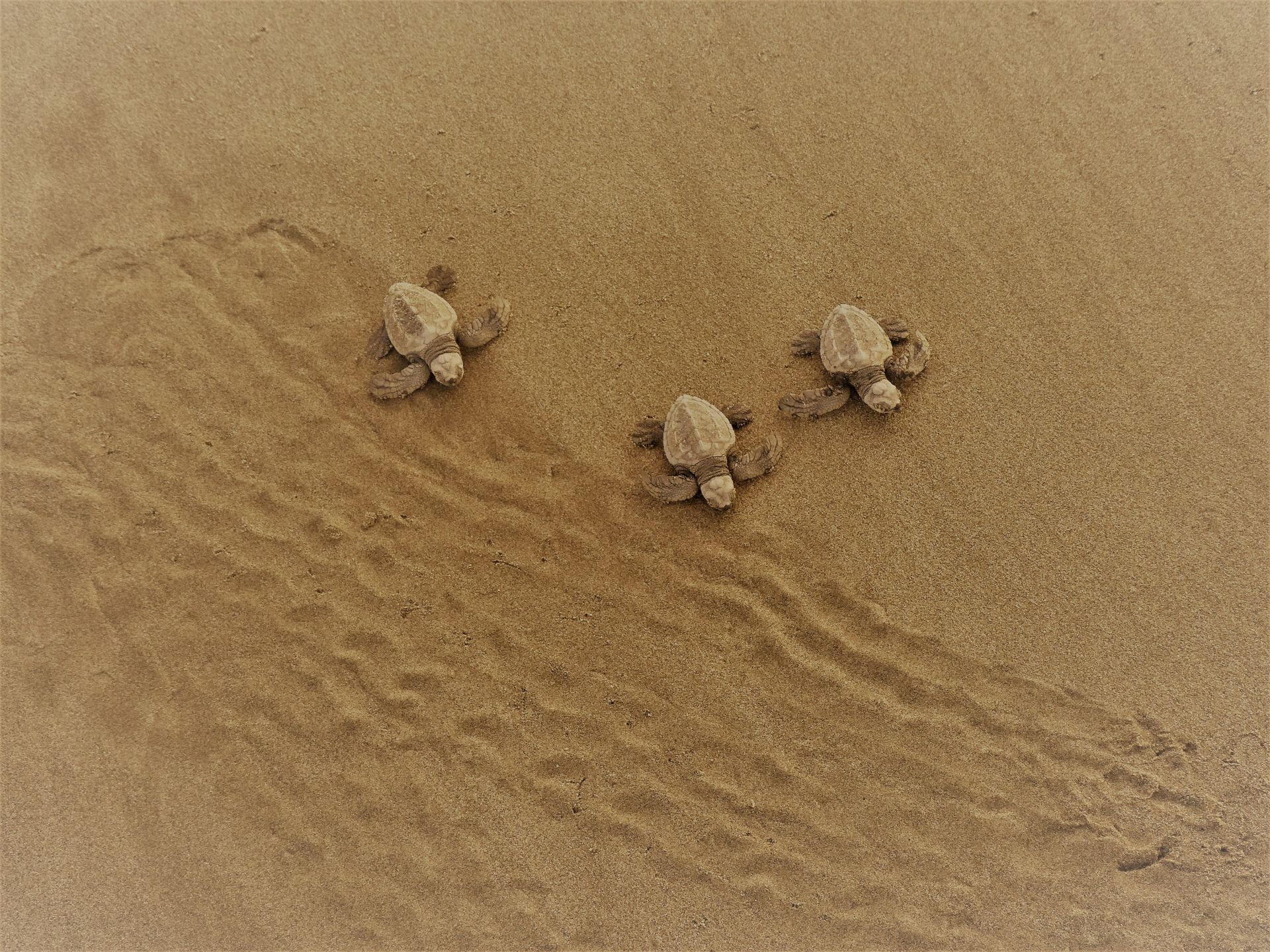
At Playa El Cuco and Bahía de Jiquilisco, sea turtles lay their eggs between August and January, protected by hatchery projects that fishermen started themselves.
Looking past the highlights
Why we don't treat El Salvador as an afterthought to the region
The smallest country, not the smallest story Guidebooks often treat El Salvador as a stopover between Guatemala and Nicaragua. We plan it as a destination in its own right, at a pace that matches the distances that actually exist.
The history isn't glossed over The civil war of 1980-1992 still lives in the landscape and in conversation, especially around Perquín and Morazán. For anyone who wants to understand it, we arrange contact with people who lived through it, not an information board by a monument.
Surfing here is daily life, not backdrop El Tunco and El Zonte draw international attention, but we plan the best sessions on the breaks just beyond them, timed to the tide rather than to the light for a photograph.
Compact means combining without rushing Where other countries in the region lose a week to internal flights, in El Salvador you travel by road, with time left over for an unplanned stop.
What you can do here
No fixed programme, but a country full of openings
These aren't day trips we plan as standard, but the kind of experiences we use to build a tailor-made trip, in the order and at the pace that suits you.
Early into the waves
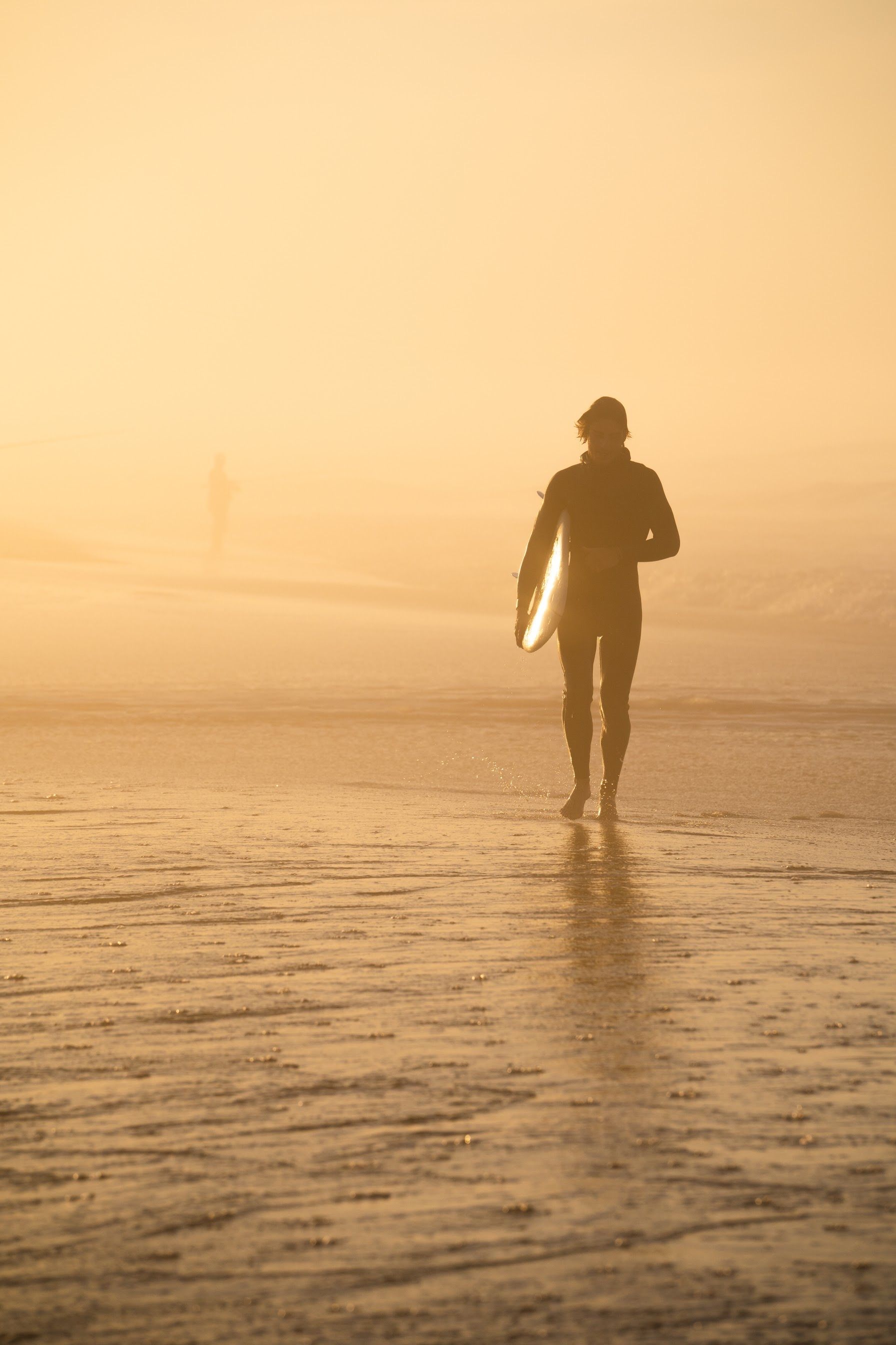
A surf lesson at sunrise in El Zonte, when the water still lies flat and the local instructors have only just woken up themselves.
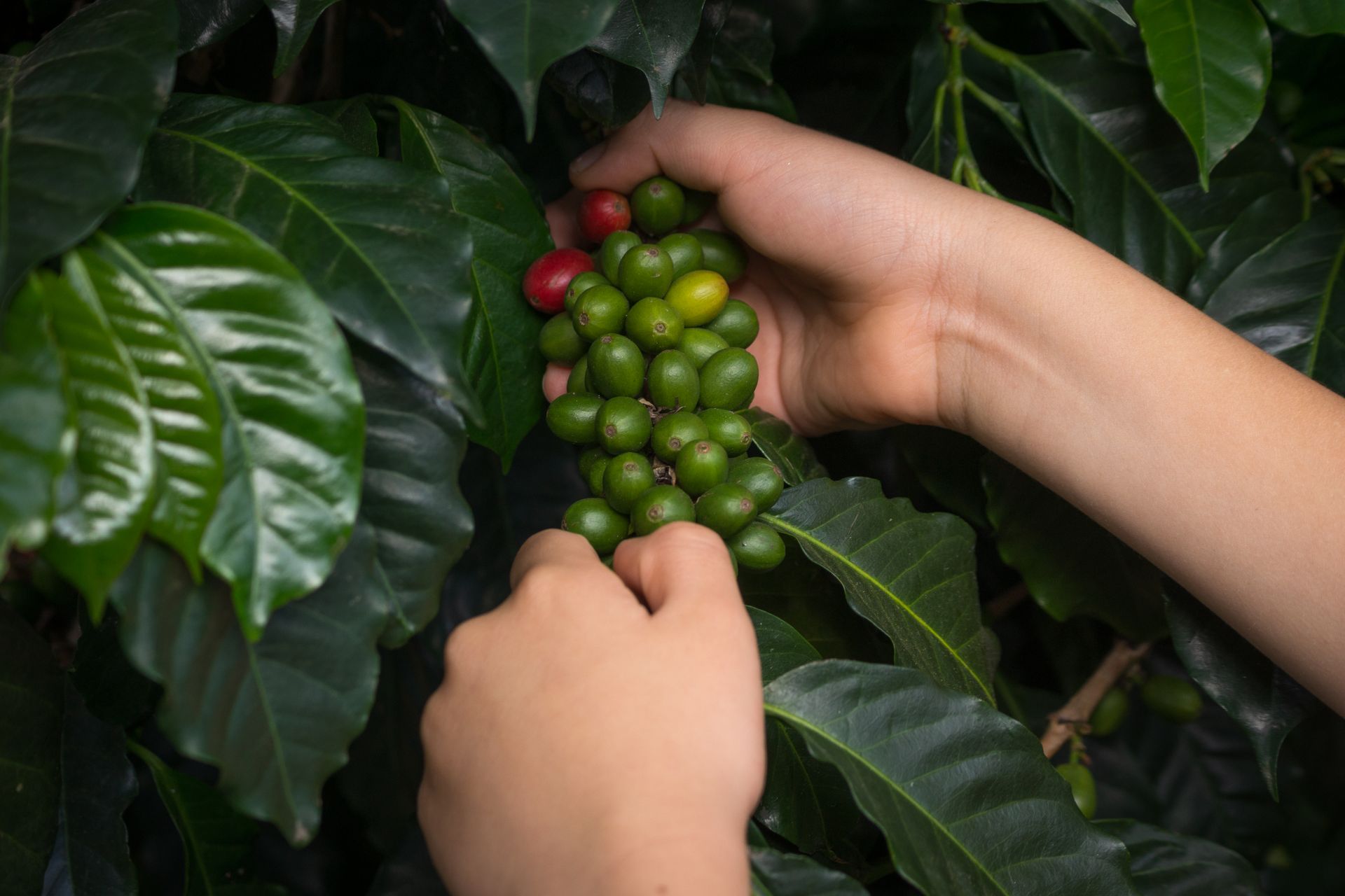
Picking alongside the pickers
A morning among the coffee bushes in the highlands around Apaneca, during harvest season when the fincas are truly at work.
Climbing the crater of Santa Ana
A climb of a few hours to one of the few active crater lakes you can view up close.
An evening in Suchitoto
Dyeing indigo at a local workshop, then dinner on a terrace overlooking the lake as the town slowly falls quiet.
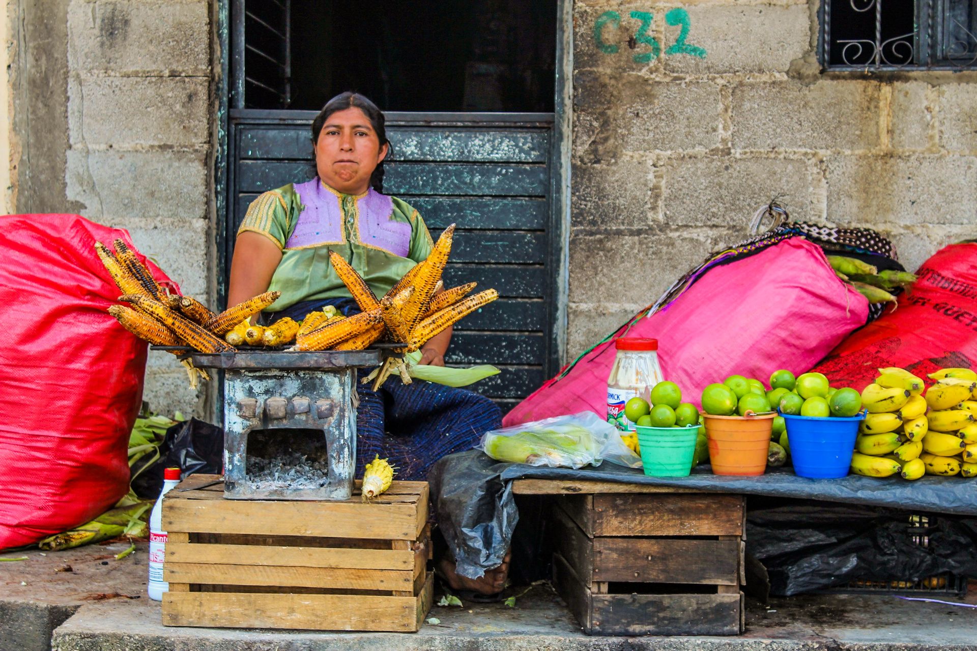
A market day in Juayúa
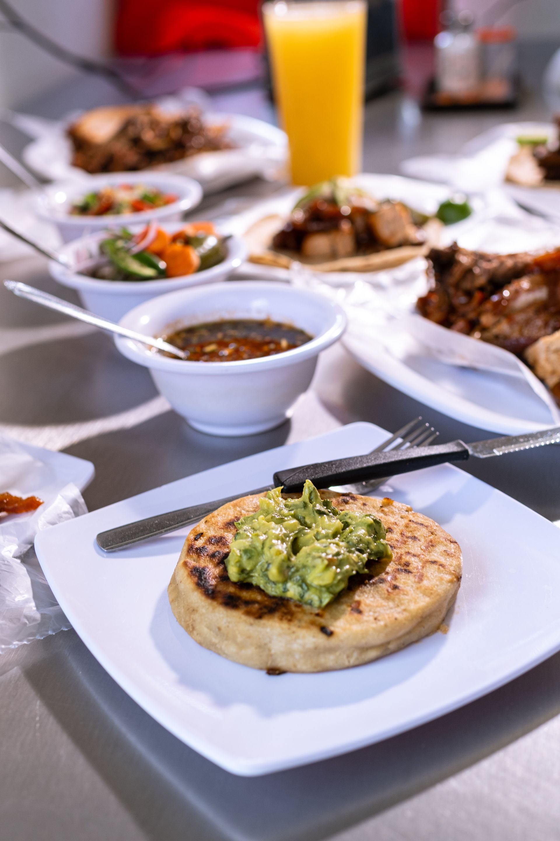
Every weekend the centre turns into a food market full of pupusas, grilled meat and fruit you won't find anywhere else nearby.

Listening in Morazán
A conversation with residents of Perquín who lived through the civil war, in an area that has only reopened to visitors in recent years.
We combine these into a route that fits your pace, not a fixed list of boxes to tick.
El Salvador doesn't ask for adventure.
It simply delivers it, somewhere between the coffee and the waves.
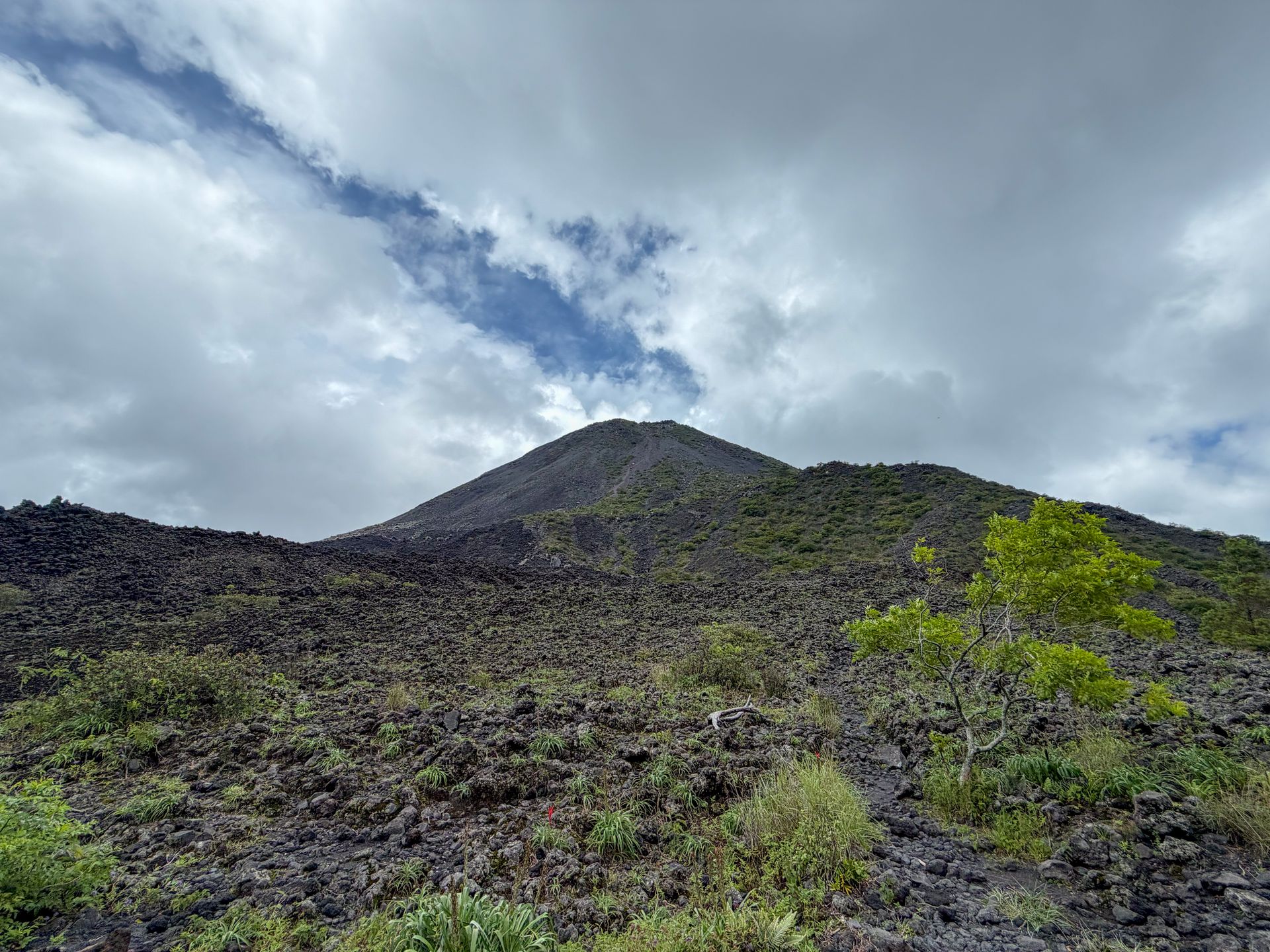
From the slopes of the Santa Ana volcano, the Pacific Ocean is visible to the naked eye on a clear day.
When would you travel?
Dry from November to April, green the rest of the year
The dry season, from November to April, brings the clearest skies for the volcanoes and the quietest roads. From May the rainy season sets in, usually a heavy shower late in the afternoon while the rest of the day stays dry, and the country turns visibly greener, especially in the coffee highlands.
December to February is also the coffee harvest, which gives a visit to the Ruta de las Flores an extra layer.
Best time to visit El Salvador
Jan
Feb
Mar
Apr
May
Jun
Jul
Aug
Sep
Oct
Nov
Dec
Top: dry, clear skies, peak season for the waves and the highlands.
Good: transitional months, still easy going with the odd shower.
Fair: rainy season, green landscape but less predictable weather.
Same months, other destinations
Who else is at their best in these months?
Not ready to ask yet?
Leave your email address. A month before the good time begins, we send you one reminder. Nothing more.
You will first get an email to confirm. You can unsubscribe at any time, with one click.
Rather talk it over?
Leave your name and number. We will call you at a time that suits you.
Worth knowing
Practical, without the noise.
Practical matters we factor in when planning.
- Getting there
- No direct flight from Belgium; the usual route runs via a US hub or via Panama City to San Salvador.
- Documents
- Which travel documents you need depends on your nationality, and entry rules change regularly. We go through the current requirements with you before you leave.
- Health
- No mandatory vaccinations, though the usual recommendations for the region apply; the difference in altitude between the coast and the highlands is greater than the distance suggests, so expect swings in temperature.
- Safety
- The country has undergone one of the sharpest security turnarounds in the region in recent years; we track the situation area by area and plan routes accordingly, not on the reputation of ten years ago.
- Pace
- Distances are short by Belgian standards, but roads through the highlands wind a great deal; expect a slower pace than the kilometres on the map suggest.
Frequently asked questions
Is El Salvador actually safe to visit?
The country has undergone a striking turnaround in security in recent years. We follow the situation region by region and build routes on the current reality, not old headlines.
Do I need to speak Spanish?
It helps, but isn't essential. In the tourist hubs and with the local experts we work with, English gets you a long way.
Can I combine El Salvador with another country?
Certainly, Guatemala and Honduras lie nearby and are often combined. Equally, El Salvador stands well on its own, precisely because it's so compact.
Is this a destination for first-time travellers?
It suits anyone who likes direct experiences without too much of a tourist filter. With the right preparation, it also works well as a first taste of Central America.
Or perhaps this
Other destinations
Still weighing it up? That is no problem at all. The right country often only becomes clear once the conversation starts.
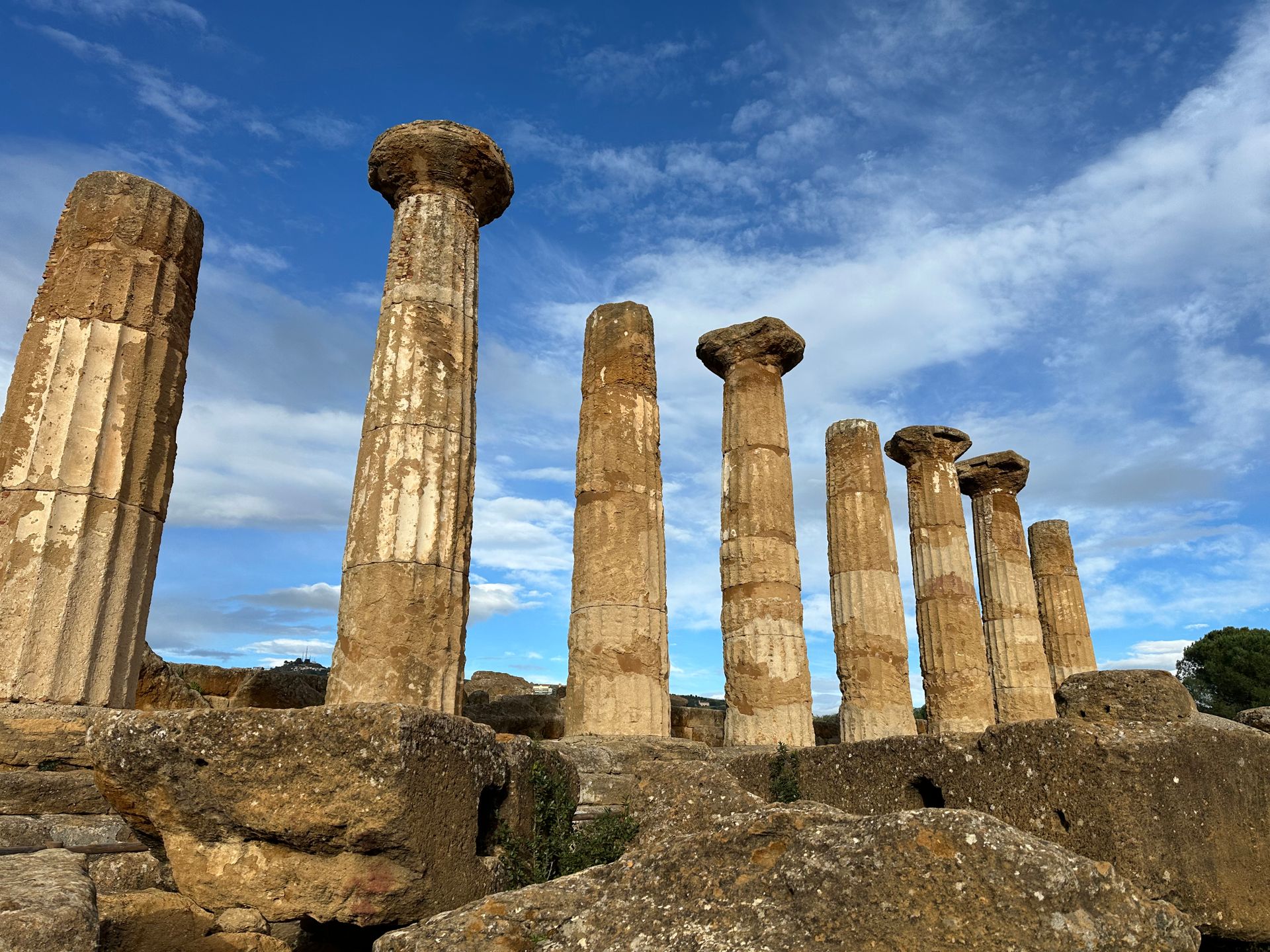
Strait of Sicily
Sicily
Sicily carries the traces of Greeks, Arabs and Normans, with a volcano that always keeps the last word.
Oceania
Australia
A reef off the north-east coast, red rock in the centre, and an Aboriginal history tens of thousands of years deep.
Andes and Pacific
Chile
A country 4,270 kilometres long: desert in the north, glaciers in the south and an island in the middle of the Pacific.
How it works
This is how your journey to El Salvador takes shape.
Six steps, from your first story to your homecoming. The conversation and the feasibility check cost you nothing.
-
01
Tell us your story
Fill in the form or give us a call. You do not need a route yet: a country, a period or just an idea is enough.
-
02
The conversation and the check
We call you within two working days. We talk through what you are looking for and check whether it can be done. If it can, we set down together what we will make for you.
-
03
We design your journey
We build your programme up, day by day, together with our own people in the country itself.
-
04
Your proposal
You read your journey day by day, with everything that is included. You say what you would like differently, until it is right.
-
05
Ready to depart
You send us your details, we send you your travel documents. You have one fixed contact who knows your journey.
-
06
Travelling, and after
Your contact stays reachable while you are away. Once you are home, we call one more time.
The next step
What draws you to El Salvador?
Tell us whether it's the waves, the coffee, the mountain villages, or something you can't quite name yet. We build the trip around your answer, not the other way round.
Updated in October 2026