Andes and Amazon
Peru
From the Pacific up to 3,810 metres, and down the other side into the rainforest.
This is Peru
A country you measure in altitude rather than in kilometres.
Lima lies on the Pacific. After a flight of about an hour you step out in Cusco, at 3,400 metres. Machu Picchu is lower, at 2,430 metres, on the eastern flank of the Andes, where the range gives way to the Amazon basin. Lake Titicaca, in the south, lies at 3,810 metres.
Cusco was the capital of the Inca Empire. When the Spaniards conquered the city in the sixteenth century, they kept its street plan and built Baroque churches and palaces on top of the Inca walls. Both layers are still there, one on the other.
That is why altitude sets the order of a trip here. Where you start, how quickly you climb and where you sleep the first nights matter more than distance on the map.
In short
- Best time to go
- May to September: the dry season in the Andes, with days of around 21 degrees near Cusco and nights around freezing. April, October and November are transition months. Most rain falls from December to March, and in February the Inca Trail is closed.
- How long
- Twelve to sixteen days. That lets you combine Lima, Cusco, the Sacred Valley and Machu Picchu with Lake Titicaca, Arequipa or the Tambopata rainforest. With less time, you skip a second region beyond Cusco and Machu Picchu.
- Who it suits
- For travellers who want to see the Incas where they built, who like to walk and who take the altitude into account. And for anyone who wants a few days in the rainforest after the mountains.
- What sets it apart
- On one trip you go from sea level in Lima to 3,810 metres at Lake Titicaca. How you build up that altitude sets the order of the whole journey.
Tailor-made tour
A tailor-made tour of Peru
A tour of Peru almost always starts in Lima and then heads to Cusco. Around Cusco lie the Sacred Valley, with the Inca sites of Pisac and Ollantaytambo, and further down the river, Machu Picchu. After that you choose: south to Arequipa and the Colca Valley, to Puno and Lake Titicaca, or east into the Tambopata rainforest. For Lima, Cusco and Machu Picchu plus one of those regions, count on twelve to sixteen days.
The long distances are covered by domestic flights: Lima to Cusco takes about an hour, Lima to Puerto Maldonado, the gateway to Tambopata, one hour and twenty minutes. To Machu Picchu you take the train from Ollantaytambo, around two hours and ten minutes for 60 kilometres. On the road you travel with your own driver.
As a couple you have a guide and a driver to yourselves, and you decide how early the day begins. With children Peru works well if the days are not too full: the train to Machu Picchu, a boat on Lake Titicaca and a few days in the rainforest all appeal to children. Travelling alone, a regular guide and driver help a great deal. With your own group of friends or family you travel in a private vehicle, and the group can split for a day: half on foot to Machu Picchu, the other half by train.
The most unusual stays are in the Tambopata rainforest. The furthest parts of the reserve can only be reached by river, up to five and a half hours by boat from Puerto Maldonado, and there you sleep in the forest itself. At Lake Titicaca you pick a place by the water, close to the boats to the floating islands of the Uros. In Arequipa you stay in the old town, built from volcanic sillar stone, in houses set around a courtyard. And in the Sacred Valley you sleep close to Ollantaytambo station, where the train to Machu Picchu leaves.
The regions
From the coast up into the Andes, and down the other side into the rainforest.
Each region sits at a different altitude. The order of your trip depends on it.
The capital
Lima
Most trips begin and end in Lima, on the Pacific. From here it is about an hour's flight to Cusco.
The old capital
Cusco
Cusco lies at 3,400 metres, in a fertile valley in the Andes. Under Pachacutec it grew into the centre of the Inca Empire, with distinct religious and administrative functions. The Spaniards kept the street plan and placed Baroque churches and palaces on top.
Along the river
The Sacred Valley
The Urubamba valley holds the Inca sites of Pisac and Ollantaytambo. From Ollantaytambo the train leaves for Machu Picchu Pueblo, sixty kilometres further on.
On the edge of the rainforest
Machu Picchu
Machu Picchu stands at 2,430 metres, in tropical mountain forest on the eastern flank of the Andes. The protected sanctuary around it contains 24 different ecosystems, from humid montane forest to snow-capped peaks above 6,000 metres.
The south
Arequipa and the Colca Valley
The historic centre of Arequipa is built of sillar, a volcanic stone, with Baroque facades, vaults and courtyards. From Arequipa you head into the Colca Valley; Chivay, at its edge, lies at over 3,600 metres.
At 3,810 metres
Lake Titicaca
Lake Titicaca near Puno lies at 3,810 metres and is considered the highest navigable lake in the world. The floating islands of the Uros lie on the lake, and you travel on it in boats made of totora reed.
The rainforest
Tambopata
The Tambopata National Reserve covers 274,690 hectares of rainforest. You fly from Lima to Puerto Maldonado in one hour and twenty minutes and continue by river: half an hour to Lake Sandoval, up to five and a half hours to the clay licks of the upper Tambopata.
At altitude
Cusco lies higher than Machu Picchu, and that sets the order.
Fly from Lima to Cusco and you land at 3,400 metres. Machu Picchu is almost a thousand metres lower, at 2,430 metres. Lake Titicaca, at 3,810 metres, is the highest of the well-known places.
For the trip itself it means the order matters. We set the altitudes of each region side by side and build the trip in the order that suits you.
The nights are different too. Near Cusco the temperature in June and July drops on average to around freezing, while the days reach about 21 degrees.
On foot to Machu Picchu
The Inca Trail is only open to you through an authorised agency.
The classic trail to Machu Picchu starts at kilometre 82 and is 33.7 kilometres long. The park authority allows four days and three nights for it. There is also a one-day route of 10.5 kilometres, starting at kilometre 104.
You cannot do it independently. Access is only through travel agencies authorised for it. They buy the tickets in your name and for one fixed date, and a ticket can only be moved in documented cases of force majeure.
The trail closes every February, for maintenance of the archaeological sites along the route.
We arrange the tickets and the guide through an authorised agency on the ground. If you would rather not walk for several days, you take the train from Ollantaytambo to Machu Picchu Pueblo.
Layers of time
An Inca road network, and what the Spaniards built on top.
The Inca Empire linked the Andes with a road network that converged on Cusco. What the Spaniards built afterwards often stands, quite literally, on the Inca walls.
Qhapaq Ñan
The Inca road network covered more than 30,000 kilometres. Four main routes started from the central square of Cusco. It has been on the World Heritage List since 2014.
Colonial Cusco
The Spaniards built their churches and palaces on the walls of the Inca city. Cusco has been World Heritage since 1983.
Arequipa
Arequipa's old centre was built by colonial master builders together with local stonemasons, in sillar, a volcanic stone. World Heritage since 2000.
Possibilities
What could Peru be for you?
Directions to help you notice what draws you and what you would rather leave out.
The Inca Trail in four days
The classic trail from kilometre 82 to Machu Picchu, with an authorised guide and tickets in your name.
Machu Picchu by train
From Ollantaytambo in about two hours and ten minutes along the river, then into the site with your own guide.
Pisac and Ollantaytambo
Two Inca sites in the Sacred Valley, on the way to the train.
Out on Lake Titicaca
In a totora reed boat to the floating islands of the Uros, at 3,810 metres.
Deep into Tambopata
Five and a half hours up the river, to the clay licks of the upper Tambopata.
Arequipa and the Colca Valley
The city of volcanic stone, then into the Colca Valley.
What you end up doing, we build around what drives you.
When would you travel?
May to September, the dry season in the Andes.
May to September is the dry season in the Andes. Near Cusco, June and July see on average about 4 millimetres of rain a month. Days reach about 21 degrees, and at night it drops to around freezing.
April, October and November are transition months. By November, Cusco already gets about 70 millimetres of rain.
Most rain falls from December to March, with an average of 146 millimetres near Cusco in January. In February the Inca Trail is closed as well.
Best time to visit Peru
Jan
Feb
Mar
Apr
May
Jun
Jul
Aug
Sep
Oct
Nov
Dec
Dry in the Andes, sunny days and cold nights
Transition months with occasional rain
Rainy season in the Andes and the Amazon
Same months, other destinations
Who else is at their best in these months?
Not ready to ask yet?
Leave your email address. A month before the good time begins, we send you one reminder. Nothing more.
You will first get an email to confirm. You can unsubscribe at any time, with one click.
Rather talk it over?
Leave your name and number. We will call you at a time that suits you.
Looking past the highlights
What we look at differently.
A Machu Picchu ticket has a set hour. Your ticket is valid for one date, one hour and one circuit, in your name. An unused ticket lapses. That is why we plan the train and the night before around that hour.
The south asks for a choice. Arequipa with the Colca Valley and Lake Titicaca each sit at a different altitude. With twelve days you usually pick one of them. Both are possible, but the trip gets longer.
The rainforest comes as a separate part. Tambopata lies on the other side of the Andes. From Lima you fly to Puerto Maldonado in one hour and twenty minutes, then continue by river. We plan those days as a part of the trip of their own.
Worth knowing
Practical, without the noise.
We go through the full, current picture with you personally, including what matters specifically for your trip.
- Getting there
- From Brussels you fly to Lima with a connection. From there, Cusco is a domestic flight of about an hour.
- Documents
- Which travel documents you need depends on your nationality, and the rules change. The current travel advice states that a Belgian passport must be valid for at least six months on arrival. Check with the Belgian Foreign Affairs service. We confirm the current requirements before departure.
- Health
- Recommended vaccinations are listed on Wanda, the travel health site of the Institute of Tropical Medicine in Antwerp. Discuss it with your doctor too.
- Travel advice
- The current travel advice is published by the Belgian Foreign Affairs service. We follow it and adapt the trip where needed. Also register your trip on Travellers Online.
- Driving yourself
- According to the current travel advice you need an international driving licence to drive in Peru. We work with a private driver.
- Travelling with children
- Very doable with days that are not too full.
Frequently asked questions
When is the best time to go to Peru?
For the Andes, the best time in Peru is May to September. That is the dry season: near Cusco, June and July see on average about 4 millimetres of rain a month, with days around 21 degrees and cold nights. April, October and November are transition months. Most rain falls from December to March, and in February the Inca Trail is closed.
Do you need to arrange the Inca Trail in advance?
Yes, the Inca Trail in Peru has to be arranged in advance. Access is only through authorised travel agencies, which buy the tickets in your name and for one fixed date. A ticket can only be moved in documented cases of force majeure. In February the trail is closed for maintenance.
How high is Machu Picchu?
Machu Picchu in Peru lies at 2,430 metres, lower than Cusco at 3,400 metres. Lake Titicaca is higher still, at 3,810 metres. How you build up those altitudes sets the order of your trip.
What is the travel advice for Peru?
The current travel advice for Peru is on the website of the Belgian Foreign Affairs service, diplomatie.belgium.be, under Travel advice. We follow it before departure and during your trip, and adapt the trip if the advice changes.
Or perhaps this
Other destinations
Still weighing it up? That is no problem at all. The right country often only becomes clear once the conversation starts.
Atlantic Europe
France
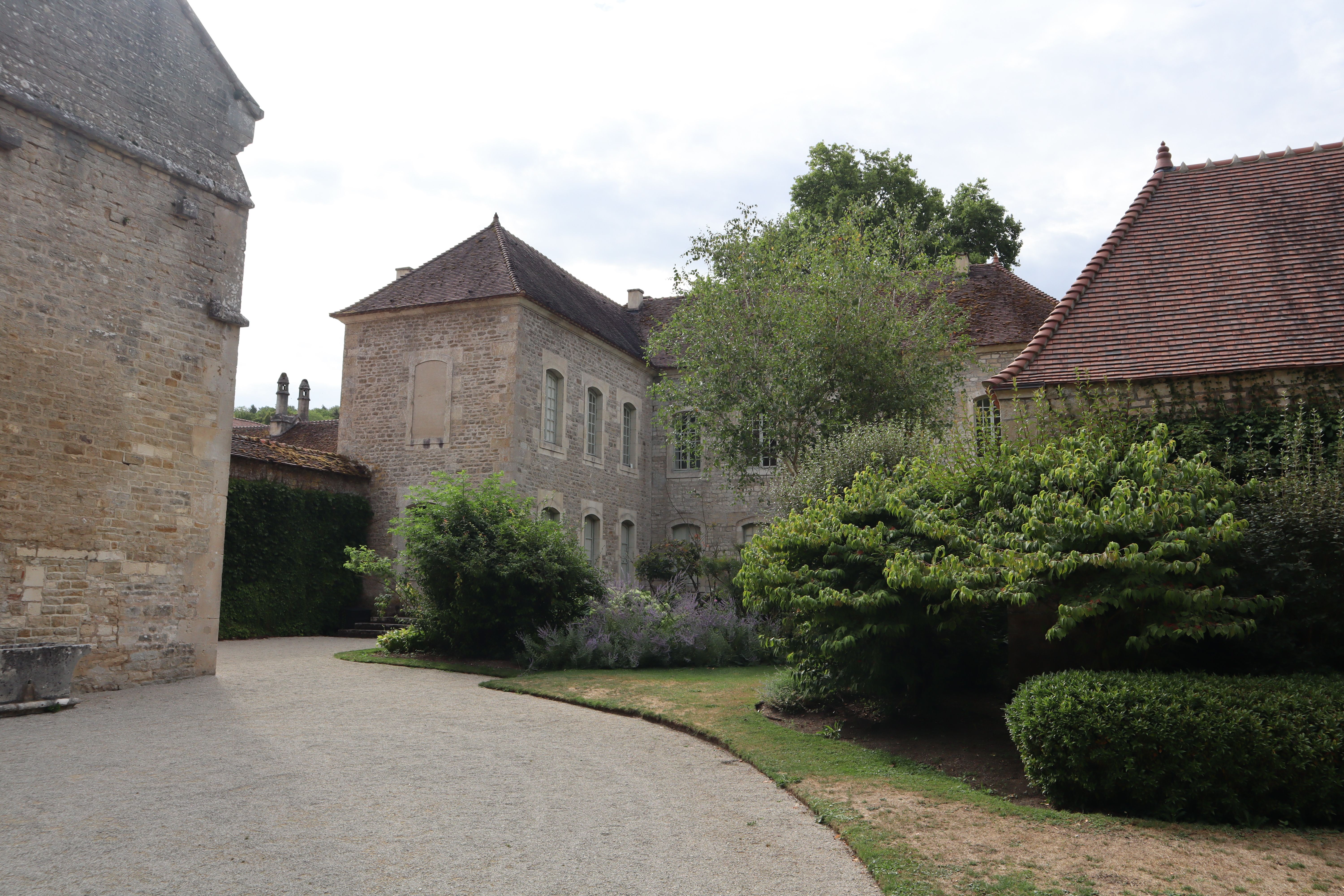
France changes character at every provincial border and refuses to be reduced to a single image.
Central Europe
Germany
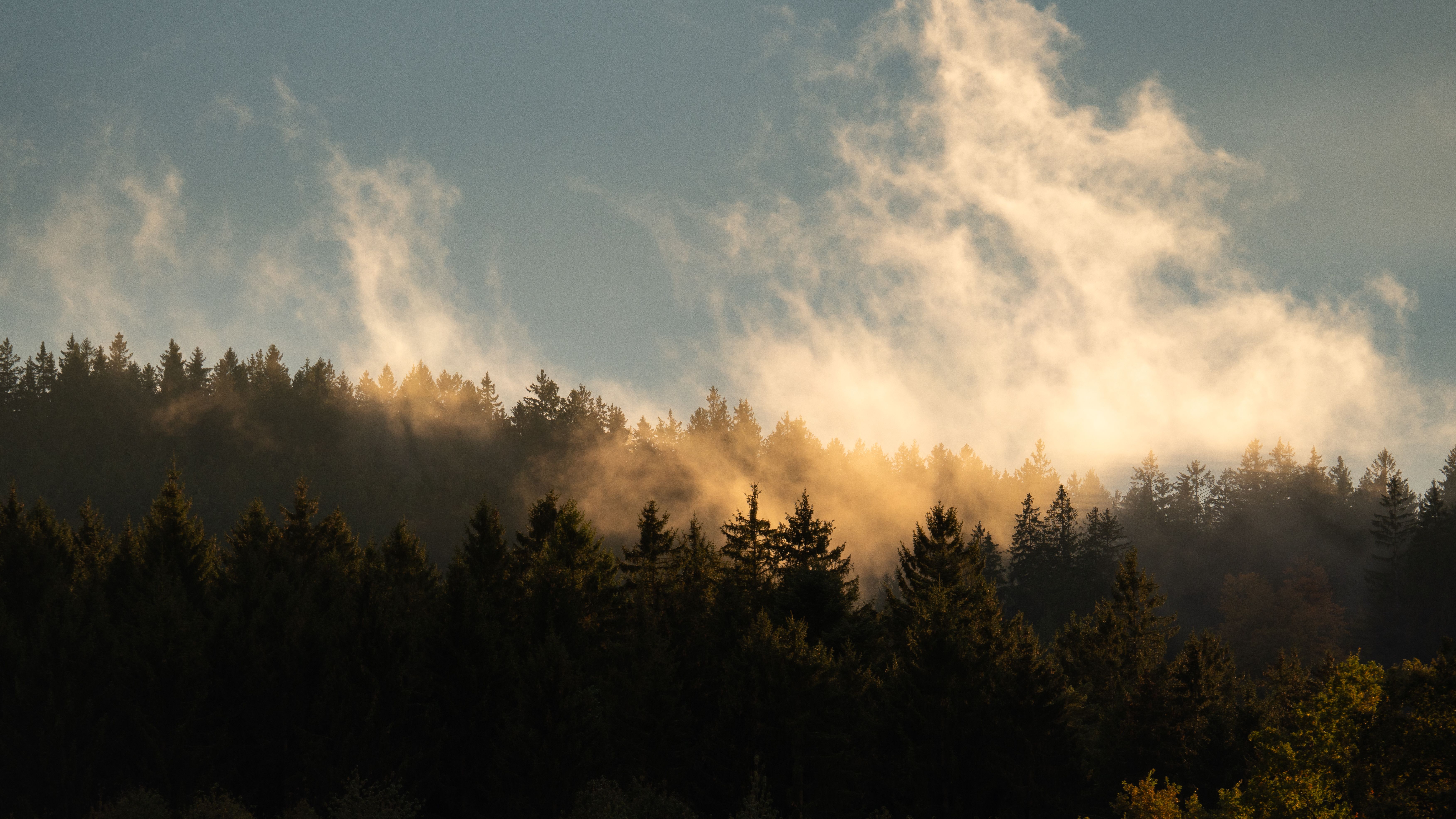
Germany combines urban precision with forest just a short walk away, and simply lets the two coexist.
Atlantic fringe
Ireland
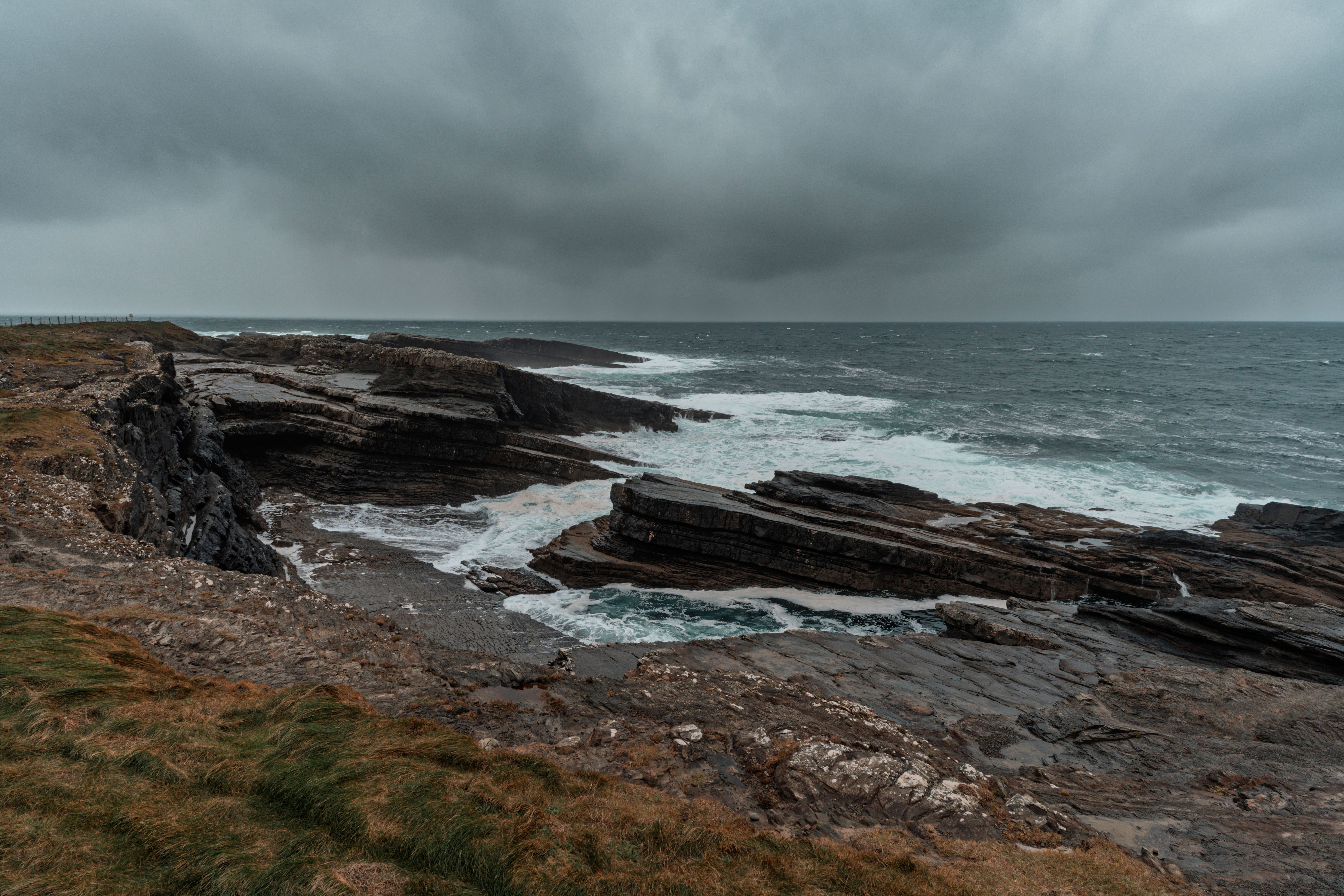
Ireland lets the weather set the scene, and a conversation in the pub rarely stays small talk.
How it works
This is how your journey to Peru takes shape.
Six steps, from your first story to your homecoming. The conversation and the feasibility check cost you nothing.
-
01
Tell us your story
Fill in the form or give us a call. You do not need a route yet: a country, a period or just an idea is enough.
-
02
The conversation and the check
We call you within two working days. We talk through what you are looking for and check whether it can be done. If it can, we set down together what we will make for you.
-
03
We design your journey
We build your programme up, day by day, together with our own people in the country itself.
-
04
Your proposal
You read your journey day by day, with everything that is included. You say what you would like differently, until it is right.
-
05
Ready to depart
You send us your details, we send you your travel documents. You have one fixed contact who knows your journey.
-
06
Travelling, and after
Your contact stays reachable while you are away. Once you are home, we call one more time.
The next step
How would you like to experience Peru?
Tell us what draws you to Peru, who you are travelling with and how much you want to walk. We get to know you as a traveller first and build from there, together with a local partner who knows the country from the inside.
Updated in October 2026