Oceania
New Zealand
Two islands, volcanoes in the north and glaciers in the south, and a country you get to know on foot.
This is New Zealand
Two islands on the far side of the world, and they are nothing alike.
New Zealand is made up of two large islands. The North Island holds most of the country's active volcanoes, and around Rotorua you find geysers, boiling mud and hot springs. The South Island is crossed by the Southern Alps, with Aoraki/Mount Cook at 3,724 metres, and in the southwest fjords cut deep into the coast.
The country has two names and two languages. Aotearoa is the Māori name, and te reo Māori is an official language by law. At Waitangi in 1840, the treaty was signed between the British Crown and more than 500 Māori chiefs. At the Treaty Grounds you can follow that history on the spot.
On the map, distances look small. On the road they do not: the network is good but winding, and a drive usually takes longer than a route planner suggests. And much of the best of the country only appears once you step out of the car and onto a track.
Travelling here means choosing. Which island, which tracks, how many hours behind the wheel. That is where the design of your trip begins.
In short
- Best time to go
- December to March: the New Zealand summer, with afternoons around 24 degrees in Auckland in January and long days for mountain tracks. October, November and April work well, cooler and quieter. From May to September it is winter: around 15 degrees by day in Auckland, below freezing at night in Central Otago, and snow in the mountains.
- How long
- Three weeks for both islands: the north around Auckland and Rotorua, Tongariro and Wellington, then the South Island from Abel Tasman to Fiordland. With two weeks, you are better off choosing one island, or the South Island with a short stop in Auckland.
- Who it suits
- For travellers who want to walk, from an hour along a lake to a multi-day tramp between mountain huts, and who want to understand the Māori history of the country along the way. And for anyone who does not mind long drives through empty landscape.
- What sets it apart
- The North Island has active volcanoes and boiling mud pools, the South Island glaciers and fjords. Aoraki/Mount Cook National Park alone has 19 peaks over 3,000 metres.
Two islands
From the Bay of Islands to the fjords of the south.
The North Island is about volcanoes and history, the South Island about mountains and ice.
The north
Auckland and the Bay of Islands
Auckland sits on a volcanic field and is where most trips begin. Three hours' drive north, or a 35-minute flight, lies the Bay of Islands, with its 144 islands. On that bay is Waitangi, where the treaty between the British Crown and Māori chiefs was signed in 1840.
The volcanic plateau
Rotorua and Taupō
Rotorua is known for its geysers, boiling mud and hot pools, and it is also a centre of Māori culture. Taupō is an hour's drive further south, on the shore of Lake Taupō.
The heart of the island
Tongariro
The mountains at the heart of this national park are sacred to Māori. In 1993 Tongariro became the first place in the world inscribed on the World Heritage List as a cultural landscape. The Tongariro Alpine Crossing runs 20.2 kilometres across the volcanic plateau, past crater lakes, with Red Crater as its highest point at 1,886 metres.
The capital
Wellington
Wellington lies at the southern tip of the North Island, between green hills and a harbour. At Te Papa, the national museum, you get to know the country before travelling on. This is where the ferry leaves for Picton on the South Island, a crossing of around three and a half hours.
The top of the South Island
Abel Tasman and Kaikōura
In Abel Tasman National Park, a Great Walk follows the coast for 60 kilometres over three to five days, though you can also walk a single section. On the east coast lies Kaikōura, between the mountains and the ocean. Whales, fur seals and dolphins live off its coast all year round.
The West Coast
The glaciers
On the West Coast, the Franz Josef and Fox glaciers come down to within walking distance of the main highway. It is wet: Hokitika receives more than 2,700 millimetres of rain a year on average, over four times as much as Christchurch on the other side of the Alps.
The Southern Alps
Aoraki/Mount Cook
The national park around the country's highest mountain has 19 peaks over 3,000 metres, and glaciers cover 40 percent of it. The Tasman Glacier, New Zealand's largest and longest, is visible from the main highway.
The south
Queenstown and Fiordland
Queenstown sits on Lake Wakatipu, among alpine ranges. Around two hours further on is Te Anau, on the lake where the Milford Track begins. Glaciers carved out fjords, cliffs and waterfalls here, and the forests are home to the kea, the only alpine parrot in the world.
Tailor-made tour
A tailor-made tour of New Zealand
A tour of New Zealand usually covers both islands. On the North Island you combine Auckland and the Bay of Islands with Rotorua, Taupō and Tongariro, and end in Wellington. On the South Island you follow the Abel Tasman coast, the West Coast and its glaciers, the Southern Alps around Aoraki/Mount Cook, and in the south Queenstown and Fiordland. For both islands, allow three weeks. With two weeks, it is better to do one island well than two by halves.
Between the islands you take the ferry from Wellington to Picton, or a domestic flight. On the islands themselves you drive, on the left. The roads are good but winding, and a journey usually takes longer than a route planner suggests. If you enjoy driving, you plan with that in mind. If you would rather look out of the window than at the road, you travel with your own driver. Not every rental company allows its cars on the ferry to the other island; we check that in advance.
As a couple, you alternate walking days with quiet days by a lake or on the coast. New Zealand works well with children: short walks, hot pools around Rotorua, whales and seals at Kaikōura. Travelling alone, you take your own guide for the mountain walks. With your own group of friends or family, you travel by minibus with a driver and, where possible, rent a house together.
The most memorable nights are spent outside the towns. On the Great Walks, such as the Milford Track, you sleep in mountain huts along the track, and those need reserving well ahead. Around the national parks you choose where to stay according to the landscape: by a lake, in the mountains or on the coast. In Auckland, Wellington and Queenstown you stay in town, close to the harbour or the lake.
Te ao Māori
One country, two names: Aotearoa and New Zealand.
In 1840, the British Crown and more than 500 Māori chiefs signed the treaty at Waitangi that set out how New Zealand would become a British colony. At the Treaty Grounds today you can see a replica of the treaty, a fully carved Māori meeting house and one of the largest Māori war canoes in the country.
Te reo Māori is an official language of New Zealand by law. You hear it in greetings and see it in the dual names the government uses, such as Aoraki/Mount Cook and Westland Tai Poutini.
Rotorua is a centre of Māori culture. In Tongariro the mountains are sacred, and the community that acts as their guardian asks walkers to stay on the tracks.
Fire, ice and water
Three forces that are still shaping the land.
The North Island has many active volcanoes, and in the south glaciers carved out valleys and fjords. What you see below is not just scenery to look at from a distance: you walk right through it.
Fire
In Tongariro, active and extinct volcanoes stand side by side. The Tongariro Alpine Crossing takes you past steaming vents, ancient lava flows and crater lakes.
Ice
In Aoraki/Mount Cook National Park, glaciers cover 40 percent of the land. Five major valley systems, from the Godley to the Mueller, were carved by ice.
Water
In Te Wahipounamu, in the southwest, successive ice ages shaped fjords, cliffs, lakes and waterfalls. Two thirds of the area is covered in forest, with trees more than 800 years old.
On foot
The best of the country lies along a track, not a road.
The Great Walks are the multi-day tracks maintained by the Department of Conservation. They are well formed and easy to follow, and they pass through very different landscapes, from coastal forest to mountain pass.
The Milford Track in Fiordland is 53.5 kilometres long. You walk it over four days, in one direction only, staying in three huts along the way. In the season, from November to April, those huts must be reserved well in advance. Camping is not allowed.
Not every walk needs to take several days. In summer, the Tongariro Alpine Crossing takes seven to eight hours. From May to October there is snow and ice, and you walk it with a guide. For every walk, we look in advance at what suits your fitness and the season.
Possibilities
What could New Zealand be for you?
Not parts of a fixed itinerary, but directions, to help you notice what draws you and what you would rather leave out.
Four days on the Milford Track
Through valleys carved by glaciers, past waterfalls, with three nights in mountain huts beside the track.
A day across Tongariro
From the Mangatepōpō Valley to Red Crater and the green crater lakes, with an early start and a guide if the weather is uncertain.
Waitangi with a Māori guide
The treaty, the meeting house and the war canoe, with a guide who also tells the Māori side of the story.
Whales at Kaikōura
By boat or from the air, all year round, with the coastal mountains as a backdrop.
The Abel Tasman coast
A single section or the whole 60-kilometre Great Walk, with forest running down to the beach.
West Coast glaciers
Franz Josef and Fox, within walking distance of the main highway, surrounded by forest, lakes and rivers.
These are directions, not a route. What you end up doing, we build around what moves you.
When would you travel?
December to March, when the tracks are open and the days are long.
December to March is summer. In January, daytime temperatures average around 24 degrees in Auckland and around 22 in Christchurch. The Great Walks are open, and mountain huts need to be reserved in good time.
October, November and April work well: cooler, quieter, and the Great Walks season runs from November to April.
From May to September it is winter. Auckland stays around 15 degrees by day, but in Central Otago it drops below freezing at night, and there is snow in the mountains. Tracks such as the Tongariro Alpine Crossing then call for alpine experience or a guide.
The weather can turn quickly in any season, especially in the mountains. The West Coast is wet all year. November to April is cyclone season in the Pacific.
Best time to visit New Zealand
Jan
Feb
Mar
Apr
May
Jun
Jul
Aug
Sep
Oct
Nov
Dec
Summer: long days, all mountain tracks open
Cooler and quieter, good for walking
Winter: snow in the mountains, cold nights
Same months, other destinations
Who else is at their best in these months?
Not ready to ask yet?
Leave your email address. A month before the good time begins, we send you one reminder. Nothing more.
You will first get an email to confirm. You can unsubscribe at any time, with one click.
Rather talk it over?
Leave your name and number. We will call you at a time that suits you.
Looking past the highlights
Where we look differently.
One island properly, or two islands by halves. Try to see both islands in two weeks and you mostly see the inside of the car. Sometimes the best choice is to keep one island for another trip. We weigh that up together.
Drives take longer than they look. The roads are winding, and a journey usually takes longer than a route planner shows. We plan with that in mind.
Mountain huts fill up fast. On the Great Walks, huts need reserving well in advance. If you want a multi-day tramp, decide early.
Worth knowing
Practical, without the noise.
We go through the full, current picture with you personally, including what matters specifically for your trip.
- Getting there
- From Brussels you fly to Auckland with a connection. Between the islands you take the ferry or a domestic flight.
- Documents
- Belgians currently need an electronic travel authority (NZeTA) for a short stay, and everyone fills in an arrival declaration. These rules can change: check them with the Belgian Federal Public Service Foreign Affairs. We confirm the current requirements before departure.
- Health
- Recommended vaccinations are listed on Wanda, the travel health site of the Institute of Tropical Medicine in Antwerp. Discuss it with your doctor too.
- Customs
- New Zealand is strict about food and plant or animal products. Fresh food may not be brought in, and breaches carry heavy fines.
- Driving
- You drive on the left. With a Belgian licence you drive together with an official English translation or an international driving permit. Check the rules before departure; we confirm them with you.
- Travel advice
- The current travel advice is published by the Belgian Foreign Affairs service. We follow it and adapt the trip where needed. Also register your trip on Travellers Online.
- Coverage
- Outside the main towns there is often no mobile signal.
Frequently asked questions
When is the best time to visit New Zealand?
The best time for New Zealand is December to March, the summer there. In January, daytime temperatures in Auckland average around 24 degrees, and all mountain tracks are open. October, November and April are cooler and quieter. From May to September it is winter, with snow in the mountains.
Can you combine both islands?
Yes, in New Zealand you combine both islands by ferry between Wellington and Picton or by domestic flight. Allow three weeks for that. With two weeks, it is better to choose one island, so you spend less time in the car.
Do the Great Walks need to be reserved in advance?
Yes, on New Zealand's Great Walks the huts need reserving well ahead. On the Milford Track this is required in the season from November to April, and camping is not allowed. The track is 53.5 kilometres and takes four days.
Can you combine New Zealand and Australia in one trip?
Yes, you can combine New Zealand and Australia in one trip. Do allow more time, though, as each country needs at least two weeks.
Or perhaps this
Other destinations
Still weighing it up? That is no problem at all. The right country often only becomes clear once the conversation starts.
Oceania
Australia
A reef off the north-east coast, red rock in the centre, and an Aboriginal history tens of thousands of years deep.
Oceania
French Polynesia
A hundred and eighteen islands and atolls in the Pacific, from the lagoons of the Society Islands to the cliffs of the Marquesas.
South America
Brazil
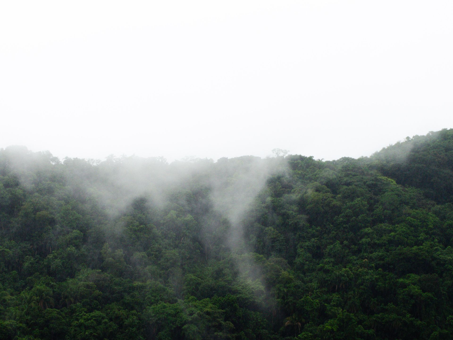
A country so vast it constantly contradicts itself, with rainforest, coast and metropolis each living at their own pace.
How it works
This is how your journey to New Zealand takes shape.
Six steps, from your first story to your homecoming. The conversation and the feasibility check cost you nothing.
-
01
Tell us your story
Fill in the form or give us a call. You do not need a route yet: a country, a period or just an idea is enough.
-
02
The conversation and the check
We call you within two working days. We talk through what you are looking for and check whether it can be done. If it can, we set down together what we will make for you.
-
03
We design your journey
We build your programme up, day by day, together with our own people in the country itself.
-
04
Your proposal
You read your journey day by day, with everything that is included. You say what you would like differently, until it is right.
-
05
Ready to depart
You send us your details, we send you your travel documents. You have one fixed contact who knows your journey.
-
06
Travelling, and after
Your contact stays reachable while you are away. Once you are home, we call one more time.
The next step
How would you like to experience New Zealand?
Tell us what draws you to New Zealand, who you are travelling with and how much you would like to walk. We get to know you as a traveller first and build from there, together with a local partner who knows the country from the inside.
Updated in October 2026